Lithium field
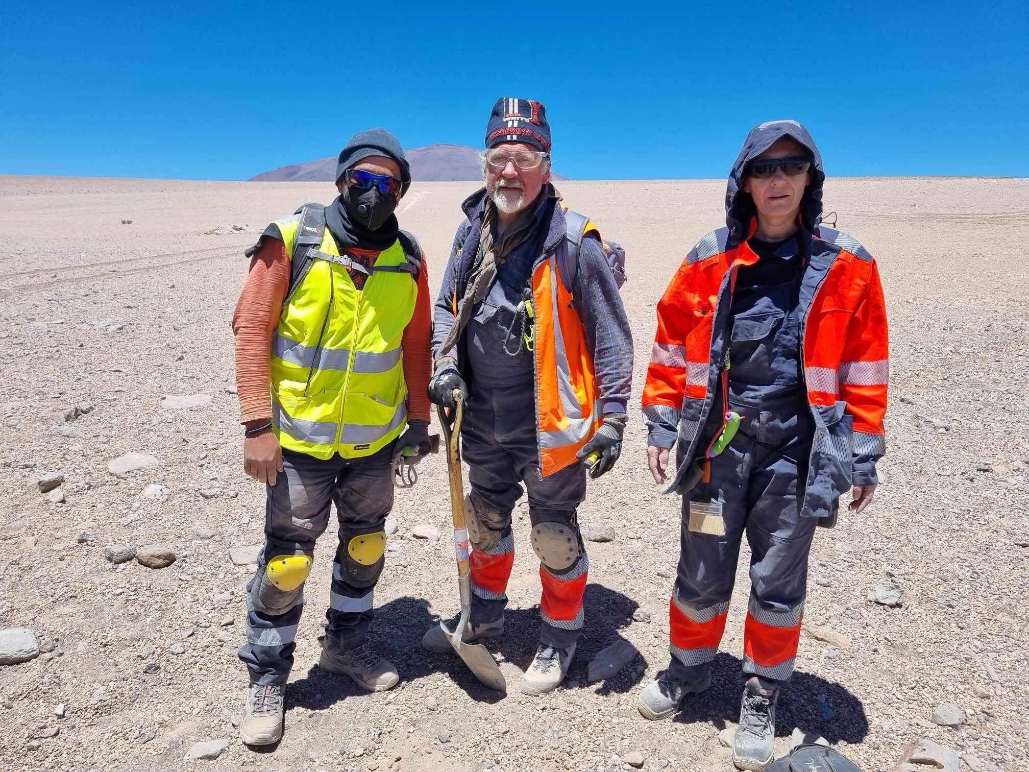
The survey was performed at the greenfield lithium field at 4,000 meters above the sea level.
The main objective of the work was to map structures (faults) at depth in order to avoid additional costs for the planned drilling, as well as to study resources in more detail and generally expedite project deliverables.
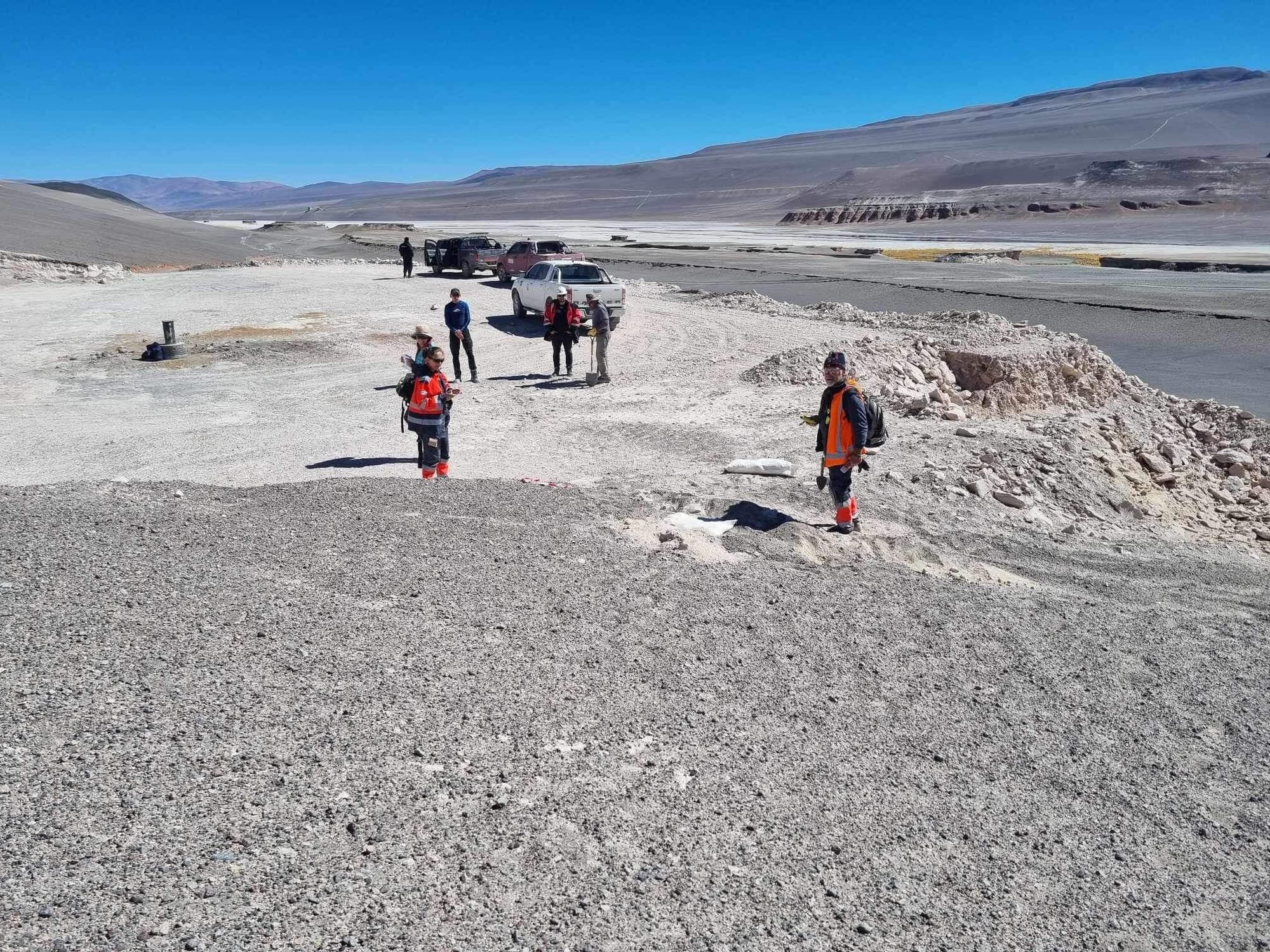
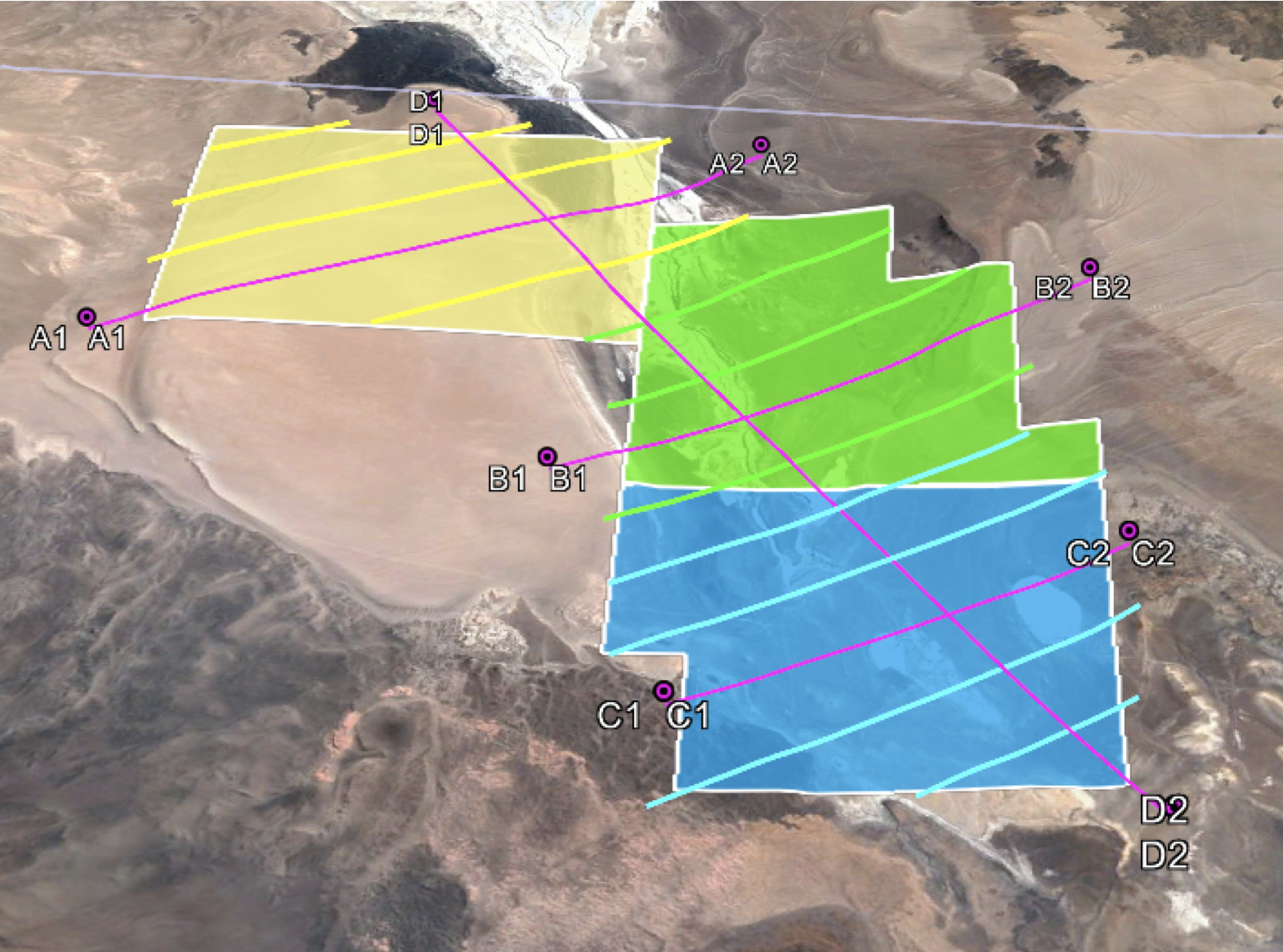
88.5 kilometres of profiles with a distance of 230-250 meters between measuring points with a distance of about 1,000 meters between profiles were surveyed within one month.
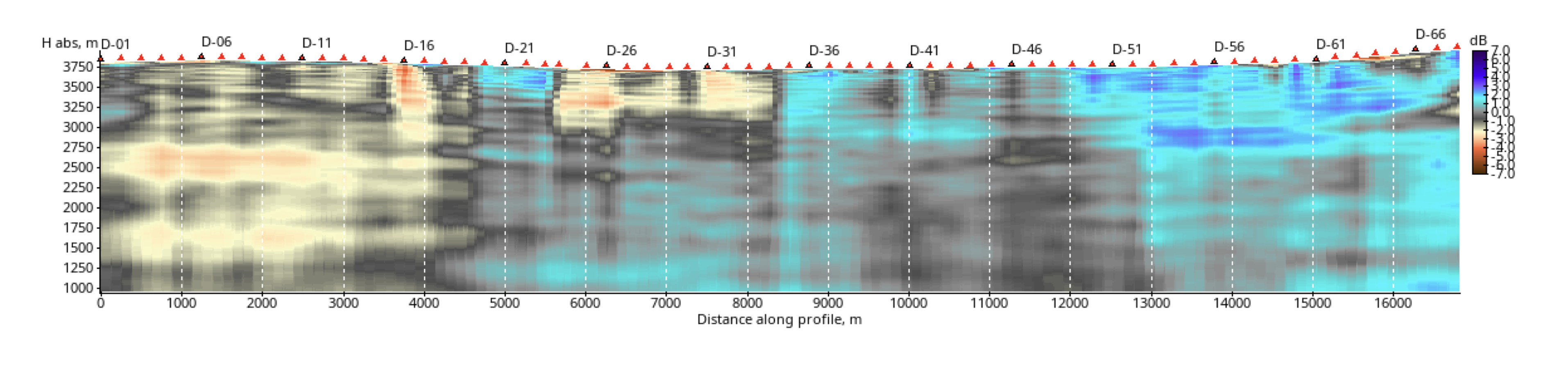
2D image of the long profile was generated by Terravox’s proprietary software using big data analysis and AI algorithms within 1 day after completion of the field survey.
CONCLUSIONS:
- GEMS technology is very useful for the exploration of lithium, especially at the greenfield stage. This will allow better planning of other surveys and plan exploration and mining activities with high efficiency.
- GEMS can differentiate between various anomalies and shows faults, fractures and fissures which control the field.
- GEMS shows the migration channels from large depths.
- GEMS can give much more precise information about the lithium lenses and their depth and propose drilling targets.